Digital Soil Maps
Greater project returns, backed by SOC quantification
What are Digital Soil Maps?
Digital Soil Maps (DSMs) depict Soil Organic Carbon Stocks across your project area.
Grounded in an initial sampling campaign and proprietary machine learning models, Seqana's DSMs deliver the ability to report on annual SOC Stock change with defensible results at scale.
.avif)
How can I use Digital Soil Maps?
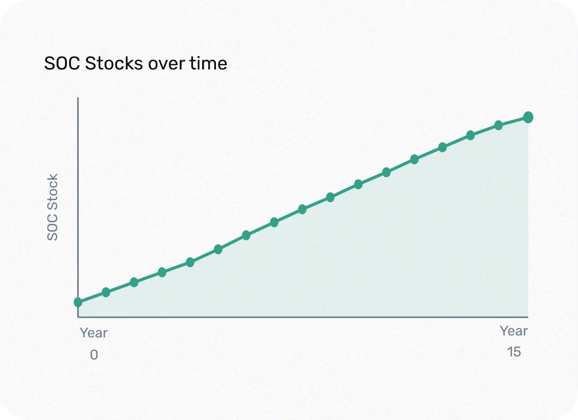
Quantify SOC Stock change
A DSM directly quantifies SOC Stocks across your project area and tracks change over time, unlocking MRV cost savings where conventional sampling alone is not feasible.
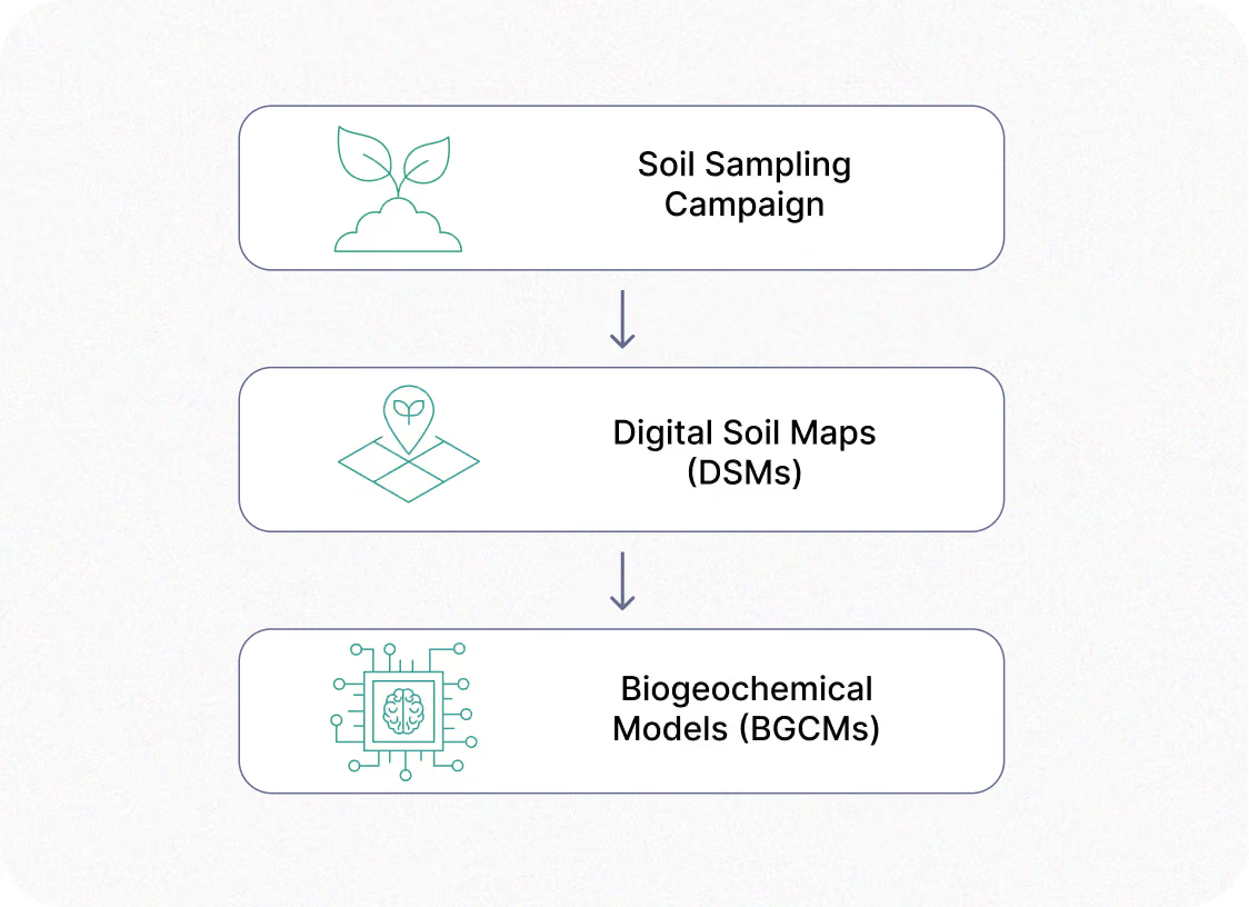
Initialize & true-up your BGCM
The validated DSM sets the starting SOC values of your biogeochemical model (BGCM) and recalibrates its projections against primary data during true-ups, strengthening model precision throughout your project.
Implementing Digital Soil Maps (DSMs) unlocks new benefits for your project
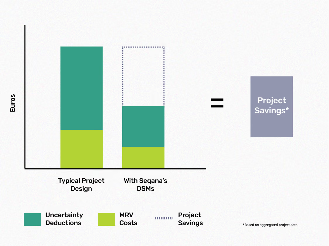
Improve the ROI of your Soil Carbon projects
DSMs provide precise SOC Stocks. By combining soil samples and environmental covariates, reducing overall uncertainty and increasing project returns.
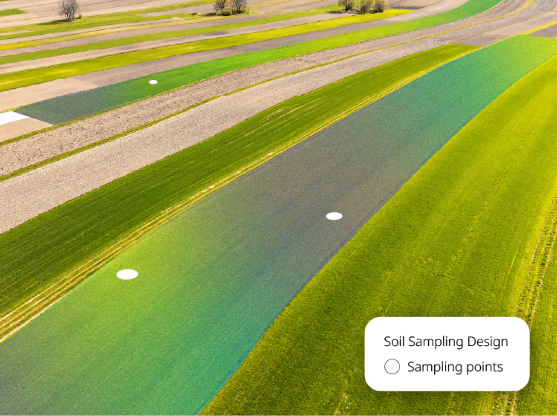
Reduce the sample size for your sampling campaign
Our DSMs require fewer ground truth samples than conventional Design-based Estimates, reducing your initial MRV costs while quantifying SOC in a large scale project area.
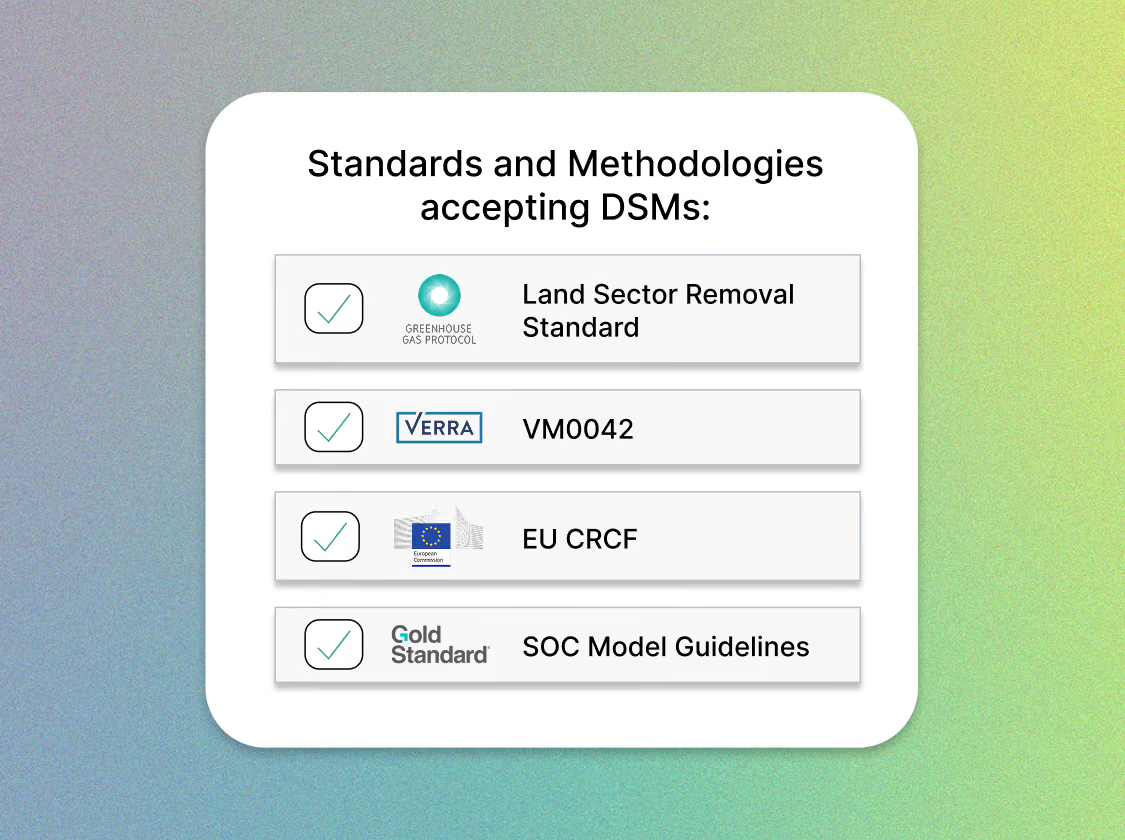
Build a fully compliant project from the start
We help you navigate the methodological complexity to meet your project goals with ease. Whether you are implementing an offsetting project on the Voluntary Carbon Market or an insetting project under the LSRS, we implement DSMs tailored to your chosen approach.
Download the Technical Buyer's Guide to DSMs
Choose the right DSM provider for your project's long-term success.

Why Seqana:
Proven solutions across 2 million hectares in 30+ countries
We build SOC sequestration tools that scale, balancing project economics with scientific rigour.
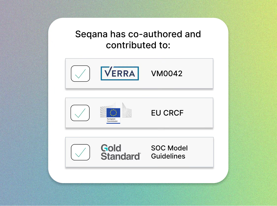
Globally trusted expertise
Using our expertise as authors and contributors to methodologies like Verra's VM0042 v3, we translate Scope 3 requirements, including those set out in the LSRS, into actionable insights for food, fibre, and fuel companies globally.

Ready to explore the value of Digital Soil Maps for your project?
We build a SOC programme according to your goals. Whether you want to reach your SBTi FLAG targets with LSRS compliance or satisfy the requirements of the Voluntary Carbon Market, we give you insights you can act on quickly.
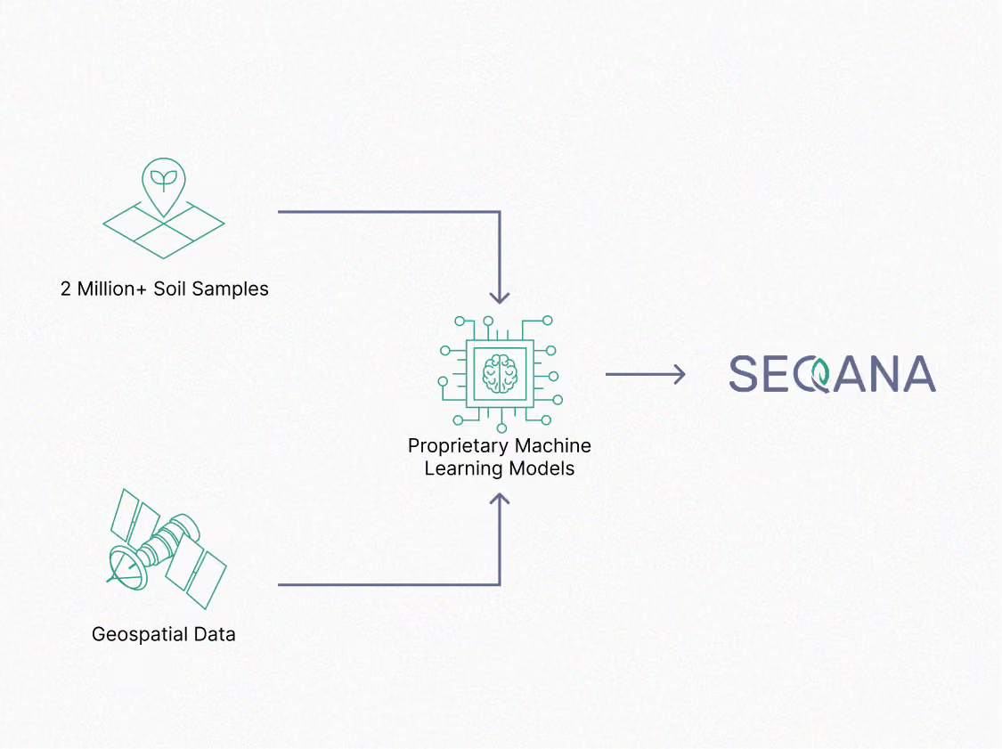
Defensible claims with robust insights
Since 2020, we've built scientifically-rigorous MRV solutions from project scoping, to stratified sampling designs, to Digital Soil Maps, by leveraging remote sensing, machine learning, and a proprietary ground-truth database with direct sampling from your project area.
Ready to explore the value of Digital Soil Maps for your project?
Connect with our team to explore how our solutions can enable data-driven MRV for your global SOC projects.


© 2025 Seqana. All rights reserved.